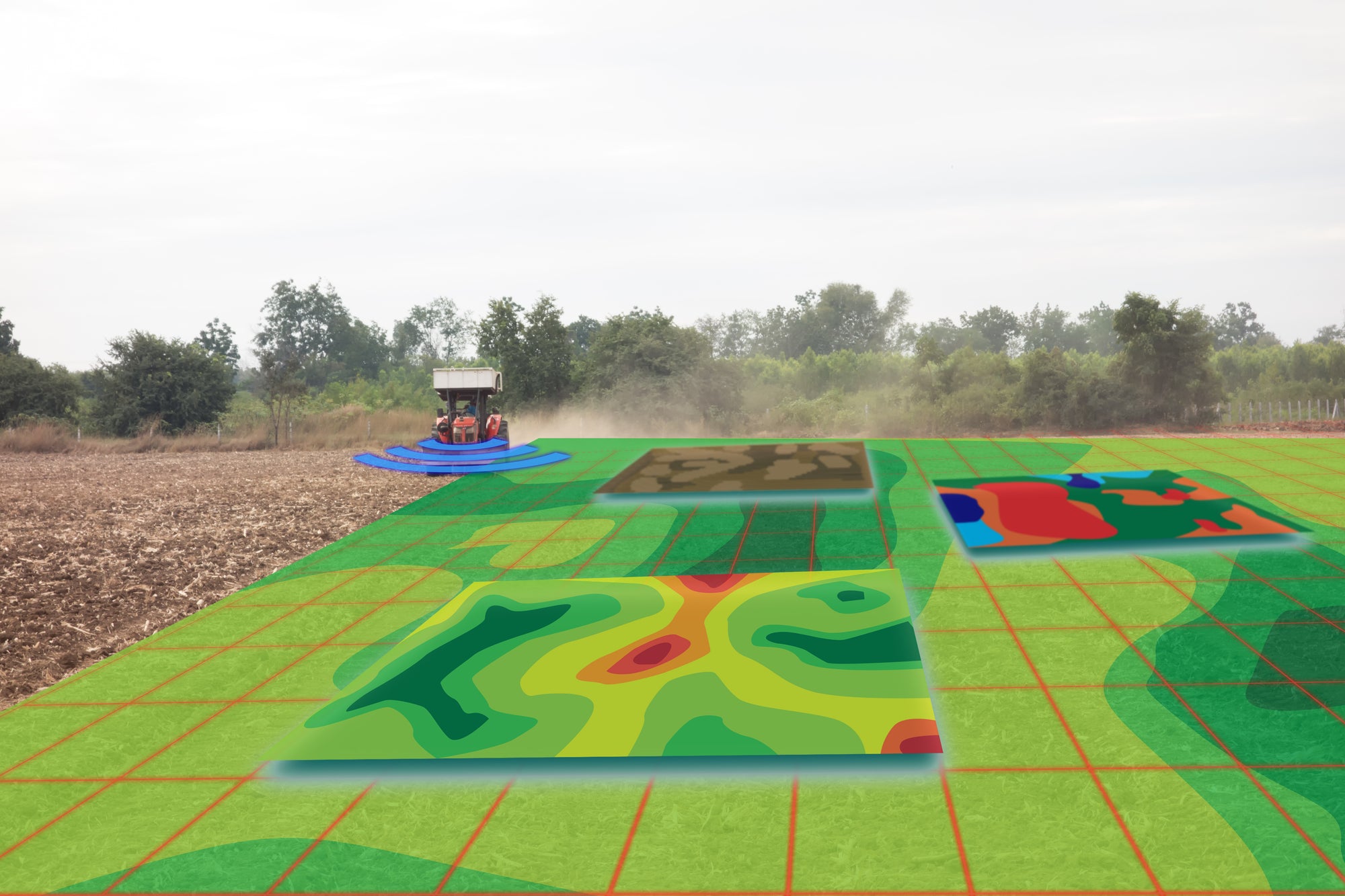

The Importance of Mapping before Planting your UK Vineyard
When evaluating land for its suitability on which to establish a vineyard, upon visual observation it may look fairly uniform from the surface, however underground, it is likely that differences in the land’s properties occur. Using different resolution maps to characterise a site, followed by in-depth analysis and ground truthing (i.e., the act of collecting site specific information) is a useful way to identify these variations.
Topographic and subsoil differences create variation across a site and affect the suitability and eventual quality of the grapes grown on it. These patterns of variation tend to become stable over time. Identification of the different zones provides valuable knowledge that can be used to inform the design of the vineyard and its planting strategy. This enables the grower to formulate a more precisely targeted management approach to optimise results once the vines are established. This leads to significant economic and qualitative benefits for both grape growers, where vineyard operations can be tailored to the different zones in a site, and for winemakers, where winemaking strategies can either ensure consistency year-to-year or bring the most out of the variable terroir the grapes are grown in.
TYPES OF MAPPING
The goal is to use a variety of geographic maps which provide different information. Lower resolution maps from remote sensing, such as elevation or topographic maps, provide a general characterisation of the land and useful information (e.g., aspects and slope gradients) which can be used to determine the location of blocks and the orientation of rows for planting.
Higher resolution maps can be created using technologies, such as electromagnetic conductivity mapping and gamma ray detection mapping. The data collected helps define the soil and creates colour contour maps depicting the spatial layout of the soil’s variability across a site. To capture the actual differences in the zones, the physical subsoil properties need to be documented and analysed, typically by digging soil sample pits.
The primary aim is to help predict vine performance and nutritional availability once a vineyard is planted, through the different soil horizons present, the soil texture, clay content, potential available root depth, and the availability of nutrients (among other factors).
USING MAPPING TO INFORM A PLANTING STRATEGY
The information gathered from mapping technologies can be used to inform which rootstocks and grape varieties to use to take full advantage of the site’s variability.
For example, if a site presents zones with variability in terms of soil nutrient availability, clay content and topsoil depth, rootstocks with different vigour can be selected and/or the vine spacing can be altered to ensure more balanced growth across the site.
If a topographic map shows that a site has slopes with different aspects or significant undulations, vineyard blocks can be adapted using later budding varieties to reduce spring frost risk, rootstocks that promote later ripening, or earlier ripening grape varieties.
Furthermore, the knowledge of what lies beneath the topsoil can be useful when variability exists concerning the amount of active calcium present as certain rootstocks are more tolerant to calcium rich soils than others. In cases where greensand makes up large proportions of the subsoils, knowing that these soils are likely to be rich in potassium, the selection of a magnesium absorbing rootstock and a grape variety with lower magnesium requirements may be an easier way to mitigate for future deficiencies, as potassium tends to lock up magnesium in the soil.
For logistical and practical reasons, it may not be possible to accommodate all such differences, so compromises must be made, especially since vineyard blocks are usually perfect geometric shapes, but soil zones are not. However, there is value in the knowledge gathered from these tools therefore obtaining detailed mapping before planting a site is worth consideration. Mapping data is also useful in understanding established sites in order to adjust the management strategy accordingly.
Published in Vineyard Magazine - March 2024
Photo: infrared high definition soil mapping (c) Antonov Roman
Photo: underground soil layers (c) Monopoly919


